


Reliable Geospatial Data for Better Decisions
PT EFORT Digital Multisolution provides surveying, mapping, data processing, and geospatial information system development. We help organizations use location-based information to support planning, infrastructure delivery, and asset management.
Operating since 2005 · Survey teams with documented quality control · Services from data acquisition to information systems
Working with government agencies, state-owned enterprises, and private companies
 Badan Pengusahaan Batam (BP Batam)
 Badan Pusat Statistik (BPS)
 GIZ
GIZ
 HERE Technologies
 Indomaret
 Kantor Staf Kepresidenan (KSP)
 Kementerian Agama
 Kementerian ATR/BPN
 Kementerian Desa, Pembangunan Daerah Tertinggal, dan Transmigrasi
 Kementerian Energi dan Sumber Daya Mineral
 Kementerian Kelautan dan Perikanan
 Kementerian Kesehatan
 Kementerian Ketenagakerjaan
 Kementerian Keuangan
 Kementerian Koordinator Bidang Politik, Hukum, dan Keamanan
 Kementerian Pendidikan, Kebudayaan, Riset, dan Teknologi
 Kementerian Perhubungan
 Kementerian Perindustrian
 Kementerian Pertanian
 National Geographic Indonesia
 Pemerintah Kabupaten Bandung
 Pemerintah Kabupaten Bandung Barat
 Pemerintah Kabupaten Bekasi
 Pemerintah Kabupaten Bogor
Badan Pengusahaan Batam (BP Batam)
Badan Pusat Statistik (BPS)
GIZ
HERE Technologies
Indomaret
Kantor Staf Kepresidenan (KSP)
Kementerian Agama
Kementerian ATR/BPN
Kementerian Desa, Pembangunan Daerah Tertinggal, dan Transmigrasi
Kementerian Energi dan Sumber Daya Mineral
Kementerian Kelautan dan Perikanan
Kementerian Kesehatan
Kementerian Ketenagakerjaan
Kementerian Keuangan
Kementerian Koordinator Bidang Politik, Hukum, dan Keamanan
Kementerian Pendidikan, Kebudayaan, Riset, dan Teknologi
Kementerian Perhubungan
Kementerian Perindustrian
Kementerian Pertanian
National Geographic Indonesia
Pemerintah Kabupaten Bandung
Pemerintah Kabupaten Bandung Barat
Pemerintah Kabupaten Bekasi
Pemerintah Kabupaten Bogor
Pemerintah Kabupaten Bogor
Badan Pengusahaan Batam (BP Batam)
Badan Pusat Statistik (BPS)
GIZ
HERE Technologies
Indomaret
Kantor Staf Kepresidenan (KSP)
Kementerian Agama
Kementerian ATR/BPN
Kementerian Desa, Pembangunan Daerah Tertinggal, dan Transmigrasi
Kementerian Energi dan Sumber Daya Mineral
Kementerian Kelautan dan Perikanan
Kementerian Kesehatan
Kementerian Ketenagakerjaan
Kementerian Keuangan
Kementerian Koordinator Bidang Politik, Hukum, dan Keamanan
Kementerian Pendidikan, Kebudayaan, Riset, dan Teknologi
Kementerian Perhubungan
Kementerian Perindustrian
Kementerian Pertanian
National Geographic Indonesia
Pemerintah Kabupaten Bandung
Pemerintah Kabupaten Bandung Barat
Pemerintah Kabupaten Bekasi
Pemerintah Kabupaten Bogor
0 +
Years of Experience
0 +
Projects Delivered
0 +
Institutions & Partners
0
Provinces Covered
One accountable partner across the geospatial workflow
From field data acquisition to information used in day-to-day operations, EFORT integrates surveying, mapping, analysis, and system development through one team. The result is data that is easier to trace, manage, and apply to the intended purpose of each project.
- Integrated workflow
- Fit-for-purpose methods
- Usable deliverables
 01
01
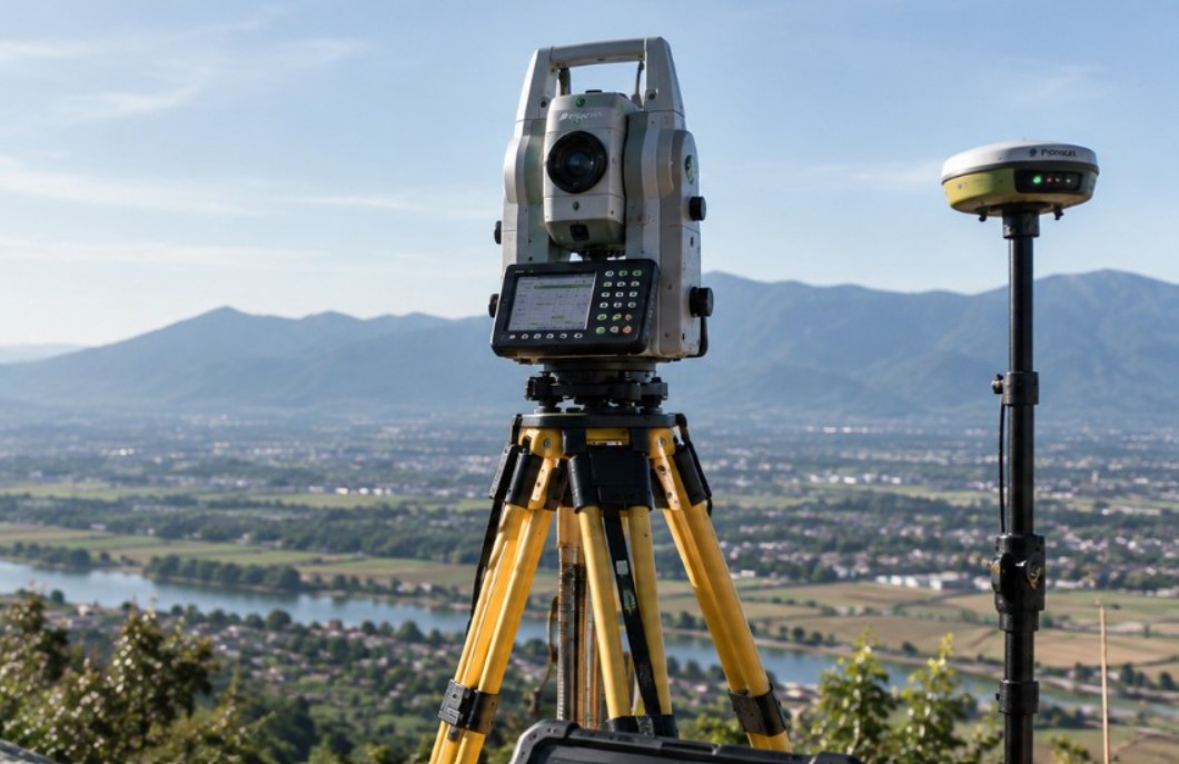
Terrestrial Surveying & Mapping
Control networks and detailed topographic data for design, construction, inventory, and map updates.
 02
02
Photogrammetry & Drone Mapping
Aerial acquisition for orthophotos, elevation models, 3D models, and surface analysis.
 03
03
Hydrographic & Bathymetric Surveys
Depth and underwater morphology data for planning, inspection, and monitoring.
 04
04
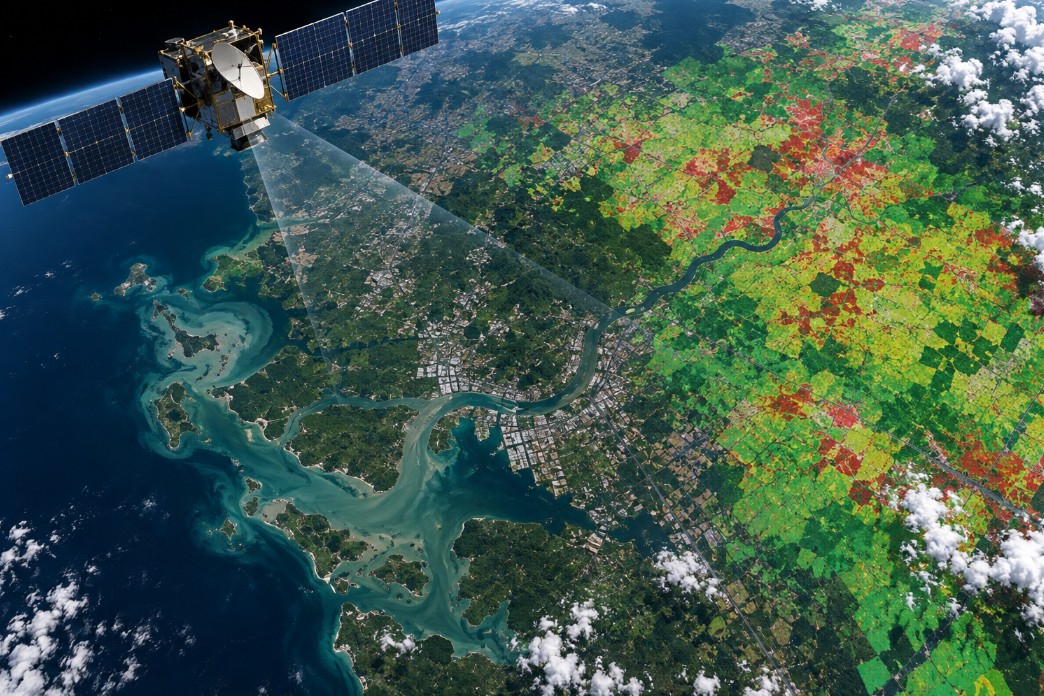
Remote Sensing & Spatial Analysis
Imagery processing and location analysis for monitoring, classification, and decision-making.
 05
05
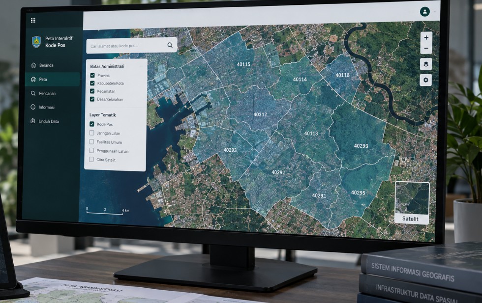
GIS, WebGIS & Application Development
Information systems and dashboards for managing, visualizing, and sharing geospatial data.
 06
06
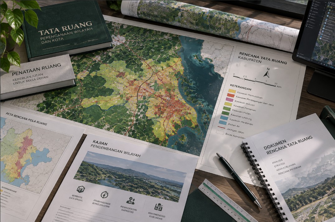
Geospatial Advisory & Planning
Methodology, analysis, data governance, and implementation support tailored to organizational needs.
From requirement to usable deliverables
Scope, method, and deliverables are agreed up front so the results can be put to use right away.
-
01
Understand the Requirement
The intended use of the data, work area, level of detail, output formats, and schedule are agreed at the outset.
-
02
Design the Method
The approach, data sources, quality control, and work plan are prepared to fit the project.
-
03
Acquire & Process
Field and processing teams work through a documented data workflow.
-
04
Deliver & Implement
Data, maps, reports, or systems are delivered in formats that are ready to use.
Planning a survey, mapping, or geospatial information system project?
Tell us what you need to achieve. The EFORT team will help define an appropriate scope and approach.