
Photogrammetry & Drone Mapping
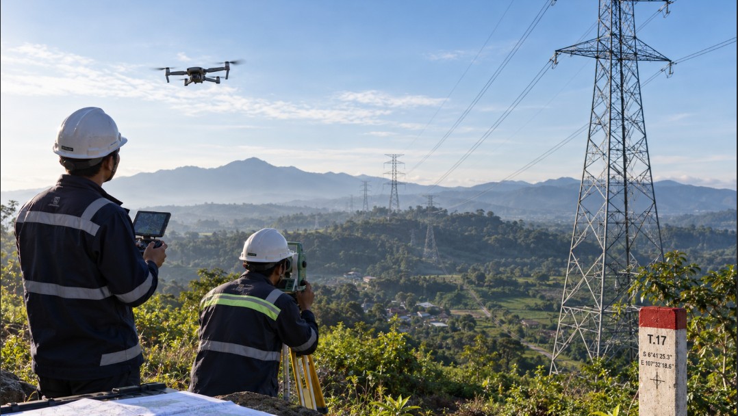
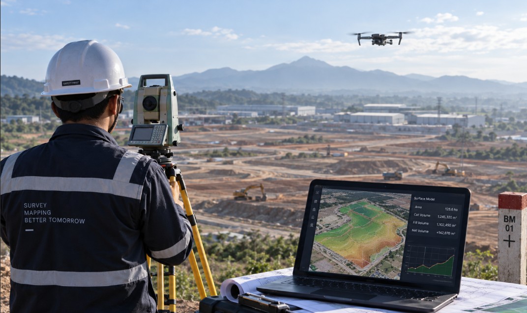
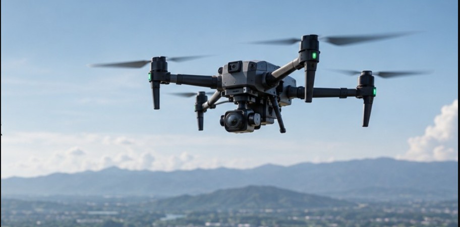
Aerial acquisition with fixed-wing and multirotor UAVs producing true orthophotos, digital surface and terrain models, and three dimensional site models.
Aerial mapping lets large areas be covered quickly without sacrificing accuracy. We match the platform, flight altitude and flight pattern to the site extent, terrain and the accuracy specification stated in the terms of reference.
Ground control is placed and measured geodetically, then used both as tie points and as independent check points, so the accuracy of the final product is demonstrated through testing rather than claimed from equipment specifications.
Scope of Work
- UAV mapping supported by ground control points and PPK/RTK
- Orthophoto, DSM, DTM and classified point cloud deliverables
- Cut and fill volume computation and progress monitoring
- 3D site models for presentation and planning purposes
Examples of work we have delivered
Regional Code Application System
Kementerian Dalam Negeri
EFORT Digital Multisolution delivered the Regional Code Application System project for Kementerian Dalam Neger...
eKios Village Information System
Kementerian Dalam Negeri
EFORT Digital Multisolution delivered the eKios Village Information System project for Kementerian Dalam Neger...
Vista Kemendagri (Thematic Visualization of Ministry Data)
Kementerian Dalam Negeri
EFORT Digital Multisolution delivered the Vista Kemendagri (Thematic Visualization of Ministry Data) project f...
Need mapping work or a spatial information system?
Tell us about your scope of work. Our technical team will outline the approach, methodology and delivery estimate at no cost for the initial consultation.
Ready to start a project together?
Tell us what you need and our team will contact you shortly.
Contact UsOr contact us directly +62 813 2287 8461