
Terrestrial Survey & Mapping
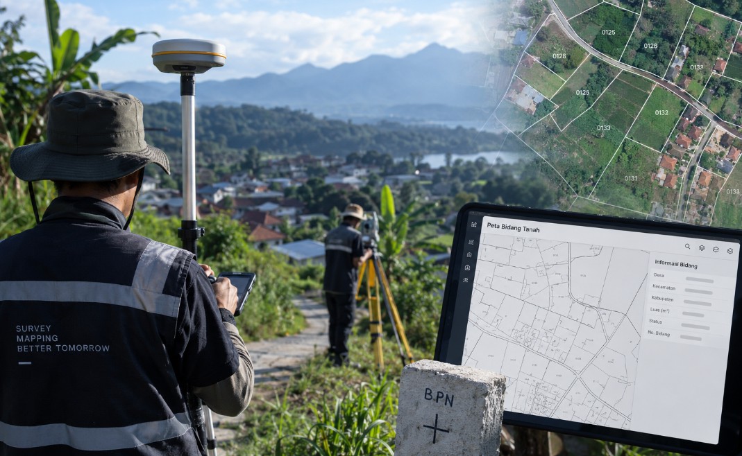
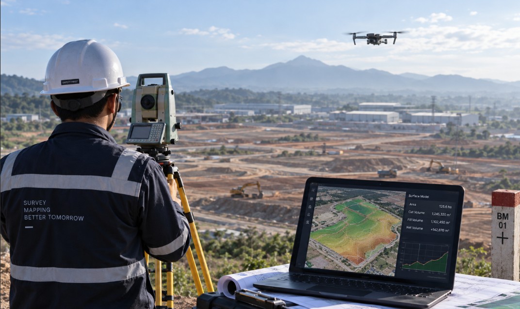
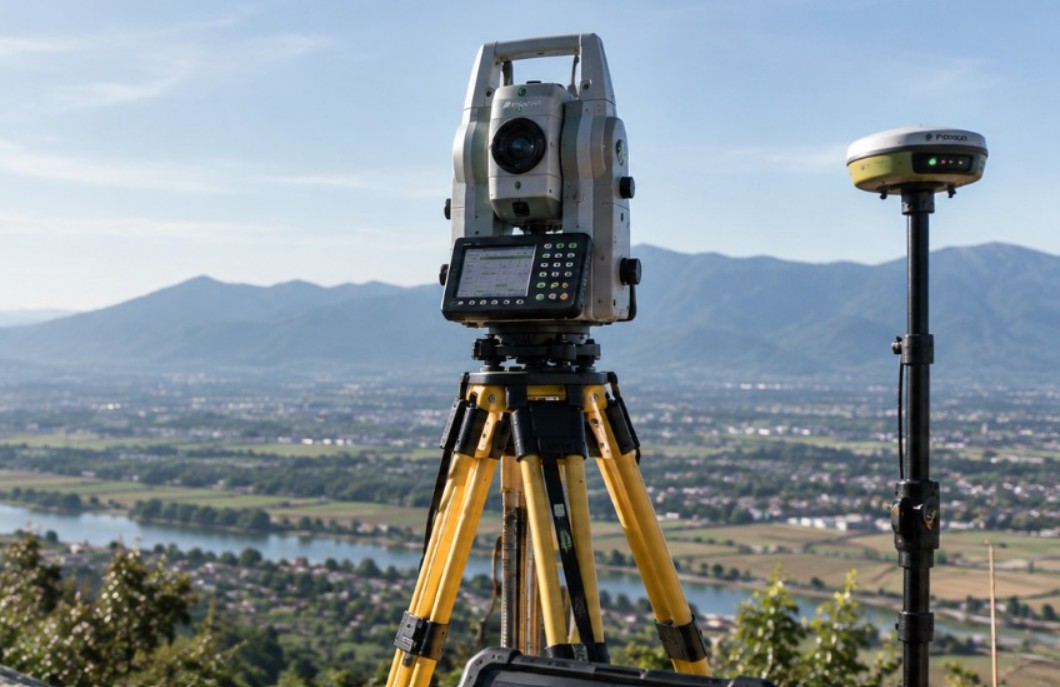
Horizontal and vertical control measurement, detailed situation mapping and stake out using geodetic GNSS and total stations under tiered quality control.
Our terrestrial survey work forms the foundation of nearly every mapping assignment we take on. Control networks are tied to official reference points so results stay consistent with the national coordinate system and merge with other agencies' data without datum shifts.
Every field crew works to the same measurement procedure, forms and checklists. Raw data is downloaded daily, checked for completeness and adjusted by least squares so error magnitudes can be reported quantitatively rather than described in vague terms.
Scope of Work
- Static, RTK and post-processed GNSS tied to the national control network
- Detailed situation mapping, longitudinal and cross sections
- Stake out and as-built survey for construction work
- Complete accuracy reporting with least squares network adjustment
Examples of work we have delivered
Regional Code Application System
Kementerian Dalam Negeri
EFORT Digital Multisolution delivered the Regional Code Application System project for Kementerian Dalam Neger...
eKios Village Information System
Kementerian Dalam Negeri
EFORT Digital Multisolution delivered the eKios Village Information System project for Kementerian Dalam Neger...
Vista Kemendagri (Thematic Visualization of Ministry Data)
Kementerian Dalam Negeri
EFORT Digital Multisolution delivered the Vista Kemendagri (Thematic Visualization of Ministry Data) project f...
Need mapping work or a spatial information system?
Tell us about your scope of work. Our technical team will outline the approach, methodology and delivery estimate at no cost for the initial consultation.
Ready to start a project together?
Tell us what you need and our team will contact you shortly.
Contact UsOr contact us directly +62 813 2287 8461